
Looking Up Montebello Neighbors
A block lookup starts with a source map. The Assessor Parcel Viewer can identify the target parcel, adjacent AINs, situs addresses, and visible layers. City district maps show civic context. Permits and focused public-record requests can add address-specific work. Historical directories may show past listed occupants when an address-order edition exists. Voter information is restricted and not a public block-browse tool. Community contacts can help residents organize, but they do not publish member rosters.
| Source | What it shows about a block | Access |
|---|---|---|
| Assessor parcel map | Geometry, adjacent AINs, situs, map context | Free web map |
| Assessor property detail | AIN, legal description, values, building context | Address or AIN search |
| District-election maps | City districts, roads, parks, schools, community-of-interest context | Free city maps |
| Permits and CPRA | Address work, applicants, contractors, dates, comments | OpenGov or focused request |
| Historical directories | Listed occupants in address order if the edition has a reverse section | Library shelf or digital scan |
| Voter records | Registration fields only for authorized statutory uses | Self-check or regulated product |
| Neighborhood Watch contact | Voluntary meetings, flyers, priorities, and community connection | Community Relations Unit |
The block record should begin as address → parcel geometry → neighboring AINs → each situs → permitted record source. Names come later and only with a documented role. This keeps a visual neighbor, a property owner, an applicant, and a household member from being treated as the same category.
Click Adjacent Montebello Parcels
The verified adjacent-parcel method is manual. The open Assessor interface did not expose a confirmed buffer, radius, whole-block export, or household roster. Search the target address or AIN, center the map, and zoom until parcel polygons and street labels are legible. Click the subject parcel, choose Get Parcel Detail, then return to click each parcel that touches it and each parcel across the public right-of-way.
- Normalize the address and locate it in the LA County Assessor Portal.
- Save the target AIN, situs, legal description, and map position.
- Record touching and across-street polygons one at a time, with each AIN and situs in its own row.
- Inspect map layers for ZIP, city, community, school, district, and tax-rate differences.
- Use a permit, deed, historical directory, or lawful community channel only when it answers a separate question.
The process flow is simple: address → subject parcel → adjacent AINs → individual parcel details → source-specific confirmation. A nearby parcel can sit in a different city, ZIP, school area, or taxing area. Do not use visual closeness as proof of a shared boundary.
Montebello Block Geography
Assessor layers include parcels, street labels, cities, communities, ZIP codes, school districts, supervisorial districts, tax-rate areas, field books, map books, mobile-home parks, public land survey, imagery, and Pictometry. The Zoning layer identified as unincorporated is not Montebello’s zoning authority. Use the city’s own planning or map resources for a city zoning question.
Montebello districting materials identify roads, hills and highways, parks, schools, homeowner associations, historic areas, land-use patterns, and transportation corridors as possible communities of interest. Interstate 60 and major arterials can make two nearby parcels function differently even when a map makes them look close. Record the layer that supplied each conclusion.
Montebello district-election maps add civic geography to the parcel map.
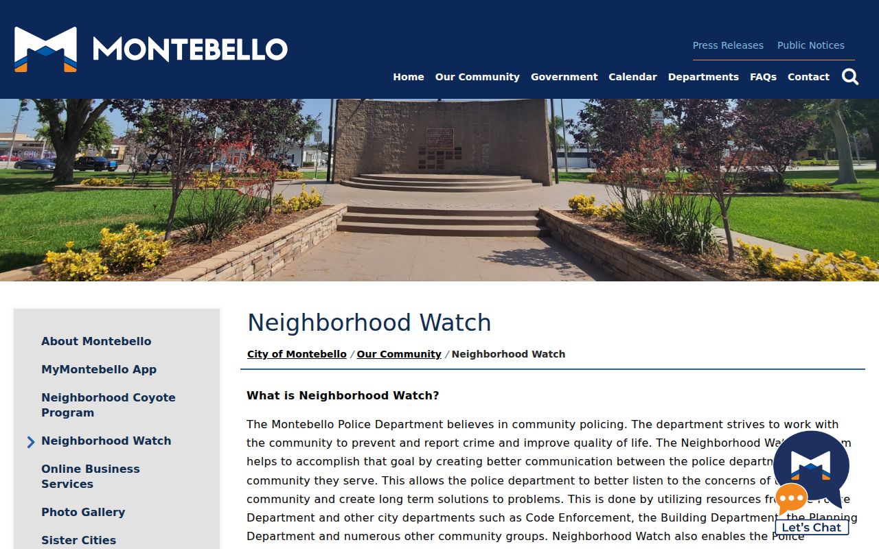
The Neighborhood Watch capture illustrates a voluntary community layer, not a government resident directory.
Build a Montebello Neighbors List
An AIN-based block list is more reliable than copying names from a search result. For each parcel, write the AIN, situs, legal description, map position, city, ZIP, district, and the source date. If an ownership event appears, record the document number and recording date, then use RR/CC for the recorded party. If a permit appears, label the person as applicant, owner, contractor, or another role printed in the file.
| Parcel row | AIN, situs, legal description, and map location. |
|---|---|
| Geography row | ZIP, city, council district, school or tax context. |
| Record row | Deed reference, permit number, directory page, or request number. |
| Person label | Recorded party, applicant, contractor, listed subscriber, heir, or other exact role. |
| Confidence note | What the source proves, what it suggests, and what it cannot show. |
This structure keeps names subordinate to documented land and source context. It also makes it easier to correct a row when a parcel is split, a street label changes, or a protected address should not be copied.
Across the Street, Another District
Montebello’s city, ZIP, council, school, tax, and neighborhood boundaries do not always align. A parcel across a public road may belong to another district or service geography. Use the map’s Cities, Communities, ZIP Codes, School Districts, Supervisorial Districts, and Tax Rate Areas layers separately. The city’s district-election material can explain communities of interest, but it does not publish a resident directory.
A postal city line also differs from an incorporated city. The 90640 street-delivery ZIP is verified, while 90641 remains unconfirmed in an authoritative current USPS result. A ZIP mismatch is therefore a reason to normalize the specific address, not a reason to remove a parcel from the block.
The parcel map decides adjacency. The relevant agency decides each boundary. Keep both facts in the block log.
Montebello Neighbors Contact
Montebello Police Neighborhood Watch is the concrete community contact found in the research. The Community Relations Unit at (323) 887-1342 helps residents schedule a presentation, choose an accessible meeting, distribute a flyer, prioritize concerns, agree on voluntary communication, and hold recurring meetings. A new or replacement sign costs $35; Streets installation or a new post is free after the Building counter and Finance workflow.
Montebello Police Community Relations
Neighborhood Watch and voluntary block meetings
(323) 887-1342
The city publishes no participant roster. Residents may voluntarily exchange names, phones, or emails for a meeting, but that sheet is private community information, not an official Montebello neighbors directory. Ask for a public contact point or meeting information, not a member list.
Montebello Police services supplies the local records and nonemergency route.
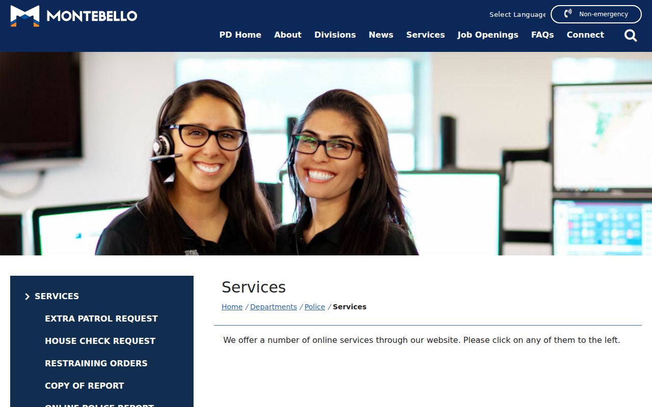
The police-services image reinforces the distinction between a community contact and a public list of people.
Historical Neighbors by Address
Past neighbors may appear in the reverse or criss-cross sections of a regional directory. The verified local holdings include Pacific Bell Alhambra–Montebello address-and-phone volumes from 1987 through 1992 and free Library of Congress white pages from 1975 through 1977. The older Pacific Directory Company titles from 1948, 1950, and 1952 are cataloged, but their internal fields were not openly inspected.
Use a directory page as a dated listing. It may omit unlisted lines, contain OCR errors, or show a business rather than a home line. Pair the address with the Sanborn map, census, newspaper, deed, or permit record before writing a past-block history. The full street chain belongs to the by-street workflow, while the historical shelf explains how to read the edition.
Montebello Neighbors: Official Sources
Commercial neighbor tools may combine public and nonpublic feeds, but they do not replace the source office. Official records have a custodian, an access rule, and a defined field. A compiled tool can be stale, merge people, omit protected participants, or repeat an error. The comparison belongs in a lawful personal context.
| Source type | Strength | Limit |
|---|---|---|
| Official parcel map | Stable AIN and adjacency context | Does not show every household member |
| Official deed or permit | Named party or address event | Role and date are narrower than residence |
| Official community contact | Voluntary meeting and civic connection | No public member roster |
| Compiled neighbor tool | May surface a lead across feeds | Accuracy, freshness, provenance, and lawful-use limits vary |
When a lead matters, return to the agency that created the record. A source link, document number, and date are more useful than a confident label without provenance.
The California data-broker registry explains the state’s commercial-data context and deletion framework.
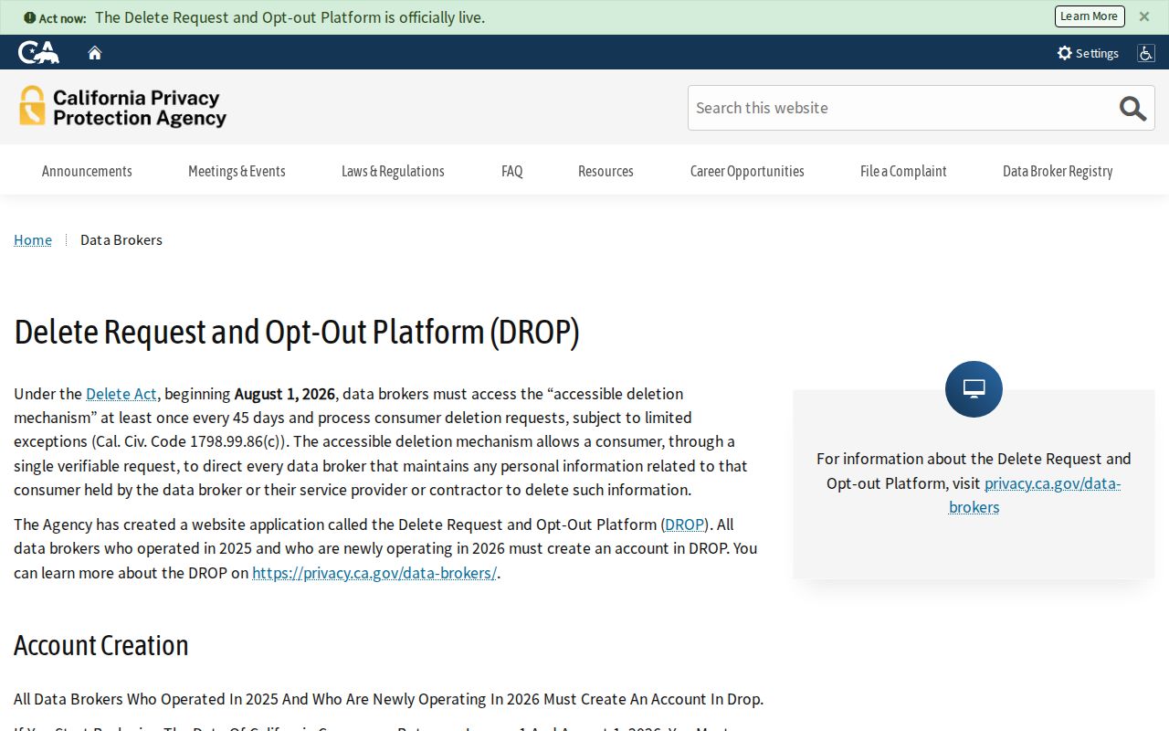
The registry image belongs beside the provenance warning: deletion rights address covered commercial processing, not the erasure of every lawful government record.
Registry Information Has Limits
California’s Megan’s Law website is a statutory registry with its own display and misuse rules. It is not a general neighbor directory and is not proof that a person currently lives in Montebello. The official summary explains the purpose, covered information, and Penal Code section 290.46. Use only the official source and never convert a registry result into a block list.
Safe at Home participants, protected voters, juvenile records, sealed cases, DMV residence data, and private household information can be absent. A missing person is not evidence of a move, death, or false record. Check the relevant custodian’s rule instead of trying to fill the gap from a compiled source.
The official Megan’s Law summary provides the legal context.
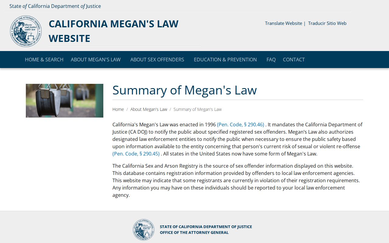
The summary capture shows why statutory registries must not be presented as ordinary block records.
The California registry search is the official route for its limited purpose.
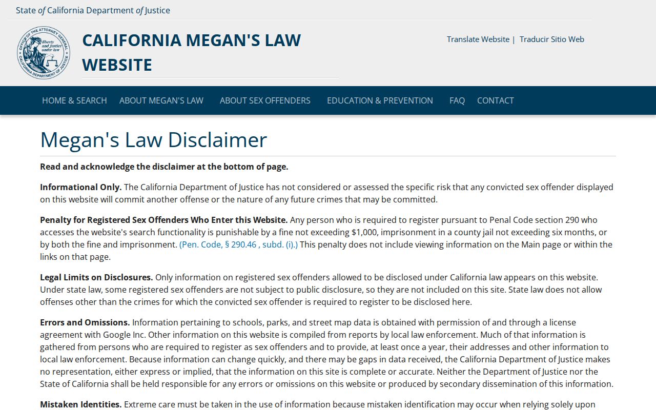
Use the registry only as its governing notice allows, and verify every identity through the proper agency.
Privacy Limits on Montebello Neighbors
The public block layer stops at the parcel, documented record role, and voluntary community contact. It does not reveal utility customers, delivery recipients, every household member, protected voters, private phones, or a complete list of occupants. The city’s Neighborhood Watch can help residents organize, but it publishes no participant roster. A focused CPRA request can seek an existing city record, yet it cannot override confidentiality statutes or ask City Hall to create a new block directory.
Lawful personal use. Use Montebello neighbor research for getting to know a block, reconnecting, property history, and personal safety awareness. Do not use records to stalk, harass, intimidate, or harm anyone.
California Penal Code sections 646.9 and 653m can apply to stalking and harassing communications. A lawful block lookup starts with AINs and geography, respects a protected address, and stops when the source cannot support a further conclusion.